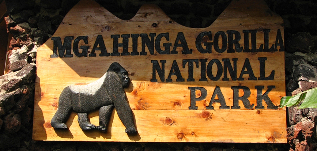
Mgahinga Gorilla National Park sits high in the clouds at an altitude of between 2,227m and 4,127m. As its name suggests, it was created to protect the rare mountain gorillas that inhabit its dense forests and it is also an important habitat for the endangered golden monkey. The park has a huge cultural significance, in particular for the indigenous Batwa pygmies. The park takes its name from “Gahinga” the local word for the piles of volcanic stones cleared from farmland at the foot of the volcanoes. Mgahinga’s most striking features are its three conical extinct volcanoes, part of the spectacular Virunga Range that lies along the border region of Uganda, Congo and Rwanda. Mgahinga forms part of the much larger Virunga Conservation Area which includes adjacent parks in these countries. The volcanoes’ slopes contain various ecosystems and are biologically diverse and their peaks provide a striking backdrop to this gorgeous scenery.
THE LOCAL PEOPLE
The Batwa pygmy tribe of hunter-gatherers was the forest’s ‘first people’, and their ancient knowledge of its secrets remains unrivaled. The Batwa were self-sufficient this can be seen during a fascinating tour through the Batwa Trail.
ATTRACTIONS
The Virunga Volcanoes
The Virungas are a chain of eight volcanoes which dot the borders of Uganda, the Democratic Republic of Congo and Rwanda. Three of the conical peaks are in Mgahinga Gorilla National Park; Muhavura (4,127 m) is the highest of the peaks. The name means guide, and the Batwa used to look for its high peak to help orient them in the forest, Muhavura has a crystal clear crater lake about 36m wide at its summit. The top commands panoramic views far into Uganda, Rwanda and along the length of the Virunga chain. Mount Gahinga (3,474m) is the smallest of the Virunga volcanoes. It is named after the local practice of tidying the volcanic debris that clutters local farmland into neat cairns or gahinga. Its swamp-filled crater is around 180m wide. Sabinyo (3,669 m) means old man’s teeth, a reference to its jagged summit which is dissected by deep gorges and ravines. The countries that share the Virungas Uganda, Rwanda and the DR Congo meet on the highest of Sabinyo’s stumpy peaks.
Caves
Some of the steep mountain slopes contain caves formed by lava tubes, one of them being the famous Garama Cave located near the park headquarters. This is a sacred place for the Batwa and during the Batwa trail you can discover how it was used as a shelter during bathes and as a place to store looted treasures.
Ntebeko Visitors’ Centre
The Visitor Centre at Ntebeko is the starting point for nature walks, Volcano hiking, golden monkey and gorilla tracking and the short 4km Batwa Trail, The trailhead of the long Batwa trail is at the base of Mt.Muhavura. Exhibits inside the building explore themes relating to the Virunga environment. A trail along the stone buffalo wall built to keep animals out of neighboring farmland provides good birding and views of the volcanoes.
OUTSIDE THE PARK
Lake Bunyonyi
A worthwhile diversion on the route to Mgahinga from Kabate, Lake Bunyonyi, is dotted with at least 20 small islands and encircled by steep terraced hills. Africa’s second deepest lake is unforgettably scenic.
ACTIVITIES
Birding, Cultural Encounter, Gorilla Tracking, Hiking & Nature Walks, Mountain/ Volcano Climbing
ACCESSIBILTY
By Roads
Mgahinga Gorilla National Park is S24 kms from Kampala; Kabale to Kisoro takes upto 8 hours. An alternative route leaves the main road at Kabale and follows the shoreline of the superbly scenic Lake Bunyonyi to rejoin the Kabale-Kisoro main road at its halfway point at Muko. Ntebeko, the main entrance to Mgahinga Gorilla National Park is 14kms on a dirt road with some steep and rocky sections from Kisoro.
By Air
Mgahinga can also be reached by air using the daily flights from Entebbe International Airport to Kisoro airfield.
ACCOMMODATION
SPECIALIZED TOUR OPERATORS


5 Comment
Jose, 2019-09-06 at 12:48 PM
The Park is excellent, impressive, unforgettable, well prepared by personnel, horribly expensive, gorillas are free living but used to people
Hiking Mount Sabinyo the second highest of the Virunga Mountains | Uganda Tourism Center, 2018-02-11 at 2:36 PM
[…] about 2am we got to the Mgahinga National park which is also the base of Mount Gahinga and Mount sabinyo hurriedly pitched up our tents and went […]
Xavier, Sydney, 2016-09-17 at 8:14 AM
Nyakagezi gorilla group is so lovely. The trek is less strenuous and took us only 1 hour to meet the gorillas. Batwa trail is wonderful, its something you must not miss when you visit Mgahinga National Park.
Jaga, Poland, 2016-08-02 at 8:09 AM
The Park is excellent, impressive, unforgettable, well prepared by personnel, horribly expensive, gorillas are free living but used to people
Simonidies, South Africa, 2016-07-04 at 8:16 AM
Mt Sabinyo = Spectacular, One of the greatest hikes I’ve ever done… culminates at a peak bordered by and with views of Rwanda, Uganda and the DRC. Spectacular.