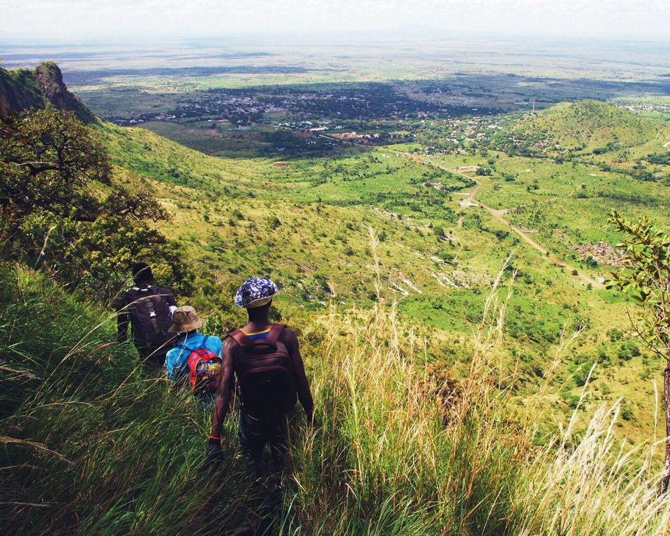
Mount Moroto is (3,083 m or 10,115 ft) high, The mountain is adjacent to the town of Moroto, Northern Region of Uganda. Mount Moroto is one of a chain of volcanoes along Uganda’s international border with Kenya that begins with Mount Elgon in the south and includes Mount Kadam and Mount Morungole. The region around Mount Moroto is a forest reserve protecting a range of habitats from arid thorn savanna to dry montane forest.
Mountain climbing
The nature reserve that encloses Mount Moroto measures 483 square kilometres (119,000 acres) and contains over 220 bird species, monkeys and wild cats. Climbing trails exist and mountain guides are available


1 Comment
A Hiker’s Guide to Conquering Mountains in Uganda | Uganda Tourism Center, 2018-04-18 at 1:06 PM
[…] Mount Moroto has a beginning elevation of 1,724m and a summit point of 3,082m at Sokodek Peak. Hikers can also decide to hike and stop at the third highest peak on this mountain known as the Imagit Peak that stands at a height of 2,930m.The total ascent and descent of the mountain is about 1,950m a distance of approximately 26 kilometers. Mount Moroto can be hiked in a day for roughly 10 hours, 8.5 hours spent hiking and 1.5 hours resting. The number of hours spent climbing is usually determined by the pace set up by the hikers. It is greatly advisable to camp for a night below Imagit Peak which is quite pleasant as there is a possibility of fetching water from surrounding sources at most times of the year. It’s also a good stop that provides ample rest to hikers enabling them to preserve their energy for their descent the next day. […]